
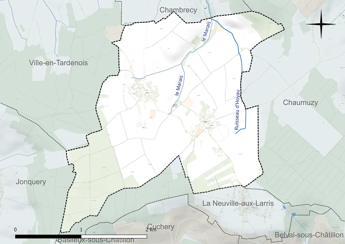
- Département
- Marne (Grand Est region)
- Site
- Tardenois, west of the Montagne de Reims
- Inhabitants
- 139 (as of 1 January 2023)
- Source
- Wikipedia, eigene Zusammenfassung
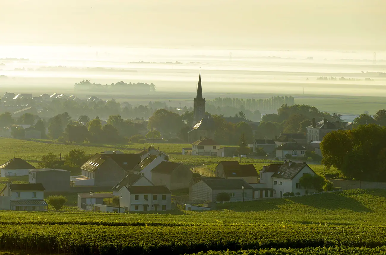
Champlat-et-Boujacourt is a small rural commune in the Tardenois, west of the Montagne de Reims. Neither grand cru nor premier cru: here the landscape is shaped by arable farming and woodland.
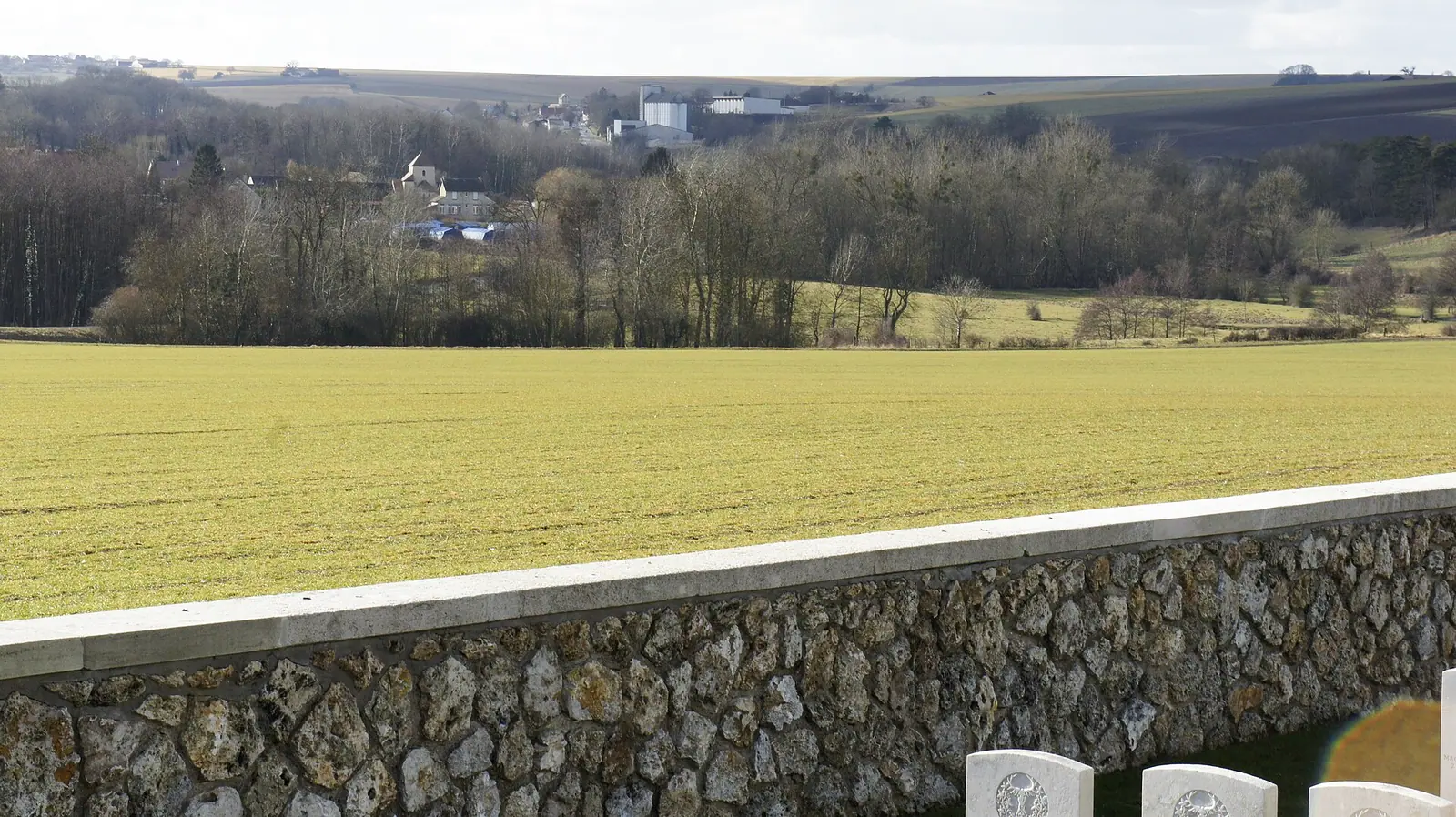
Champlat-et-Boujacourt is made up of two villages in the Marne département and has 139 inhabitants (as of 1 January 2023). Anyone who wants to get to know Champagne away from the famous vine-covered slopes will find a quiet stretch of countryside here in the Tardenois.
Location
The commune lies west of the Montagne de Reims and is itself part of its regional nature park. By road it is about 24 kilometres to Reims, 25 kilometres to Épernay and 22 kilometres to Dormans. Administratively, the village belongs to the arrondissement of Épernay and the canton of Dormans-Paysages de Champagne. Its neighbours are Chambrecy, Chaumuzy, La Neuville-aux-Larris, Jonquery and Ville-en-Tardenois.

Boujacourt to the west and Champlat to the east sit on the slopes of a small valley carved by the Hoyau stream, which runs north towards Chambrecy. The land rises from 138 to 248 metres, with the highest point in the Bois de la Cohette in the south-west. The commune covers 636 hectares.
Farmland instead of a sea of vines
There is no grand cru or premier cru classification to report here. Land use tells a different story: around 66 per cent of the area is arable land, about 23 per cent woodland and a good 10 per cent mixed agricultural land. Only 0.4 per cent is built up. According to the available figures, the local economy is mainly agricultural. For anyone drinking champagne, the village is therefore relevant mostly as a rural setting rather than as a well-known address of origin.
Champlat-et-Boujacourt is made up of two villages in the Marne département and has 139 inhabitants (as of 1 January 2023).
The climate is described by the nearest weather station, in Chambrecy, four kilometres away: for 1991 to 2020 the mean annual temperature is 10.7 °C and rainfall is around 734 millimetres.
History
The village was partly destroyed in the First World War. In the Second World War it sheltered the “Maquis de Chantereine”, a Resistance group. The Ferme de Chantereine in the north-east, from which the group took its name, is documented as far back as 1303 but is uninhabited today.
 Henriot Champagner
What to see
- The church of Saint-Denis, rebuilt in the interwar years.
- The two village centres: older houses stand close together along the road, newer buildings sit back at the edge, and large farm buildings lie in between.
- The surrounding countryside in the Montagne de Reims nature park, with woods and fields in the valley of the Ardre and its tributaries.
Practical note
This is a residential village: there are 68 homes, 99 per cent of them detached houses, and just a single flat in a multi-unit building. If you want to taste champagne, it is best to plan a visit as a detour on a route between Reims and Épernay and combine it with growers in the surrounding villages.
Pictures




 0 %