
- Département
- Marne (Grand Est region)
- Site
- Eastern slope of the Côte d'Île-de-France, Brie champenoise
- Inhabitants
- 257 (as of 1 January 2023)
- Source
- Wikipedia, eigene Zusammenfassung
Congy is a small wine village in the Marne département, on the eastern slope of the Côte d'Île-de-France. It lies in the Brie champenoise, has no cru classification and boasts a menhir and a medieval church.
Location
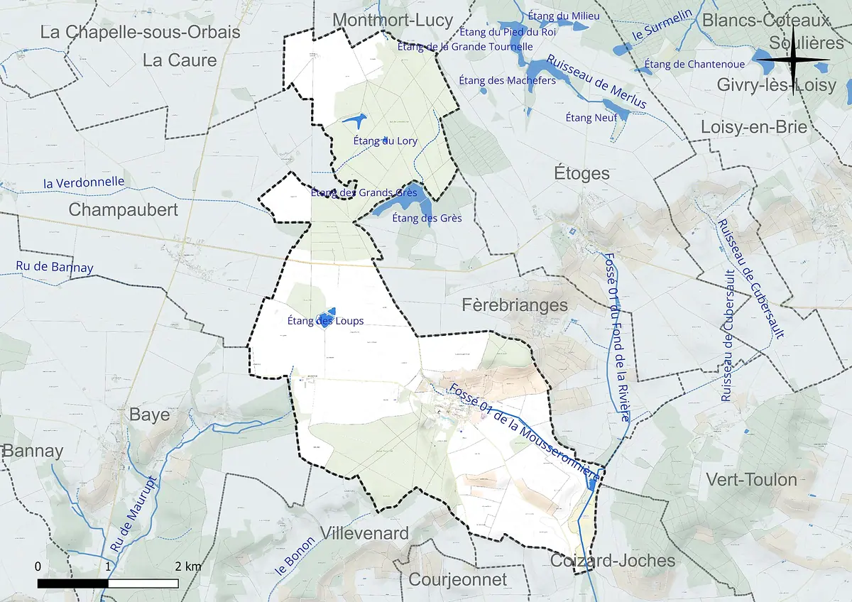
Congy lies in the south-west of the Marne département and belongs agriculturally to the Brie champenoise. It is about 30 kilometres by road from Épernay and 43 kilometres from Châlons-en-Champagne. Reims is roughly 39 kilometres to the north-north-east. Administratively, the commune falls within the Arrondissement of Épernay and the canton of Dormans-Paysages de Champagne. In 2023 it had 257 inhabitants (as of 1 January), spread across the village and the hamlets of Cense Rouge and La Grange Laurent.
The commune covers 1,747 hectares, with altitudes ranging from 142 to 237 metres. Congy has no cru classification, neither grand cru nor premier cru.
Viticulture and landscape
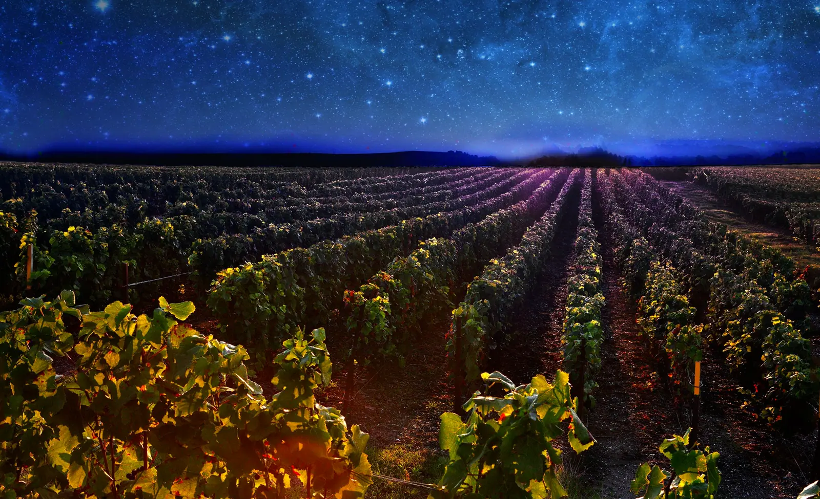
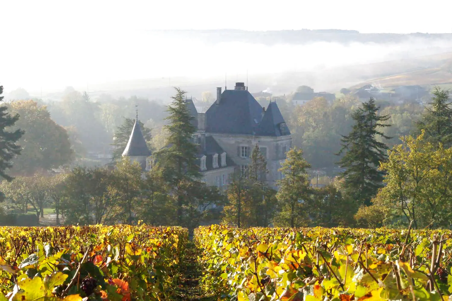
The village sits on the eastern slope of the Côte d'Île-de-France, the escarpment along which Champagne's vineyards grow. Opposite rises the Montagne de Toulon. Between the two, the Cubersault stream flows to the south-east. Even so, Congy is not a wine village in the classic sense: a good 60 per cent of the land is agricultural, most of it arable (55.5 per cent). Permanent crops, which include vines, account for 3.7 per cent according to Corine Land Cover. Almost a third of the commune is forest.
For the years 1991 to 2020, the nearest weather station, at Chouilly, records an average of 11.4 °C and just under 669 millimetres of rain a year.
The climate is temperate oceanic. For the years 1991 to 2020, the nearest weather station, at Chouilly, records an average of 11.4 °C and just under 669 millimetres of rain a year. That is a framework familiar to anyone who knows champagne country: fresh summers, cool winters, rain spread across the year.
Nature around the village
Above the village, the plateau is wooded, and to the west lies the Étang des Loups, covering 3.9 hectares. To the north stretches a protected area (ZNIEFF) of about 430 hectares around the ponds and forests of the Grande Laye. Oak and hornbeam woods grow there, and some 40 bird species live in the wetlands. In the south-east, part of the Marais de Saint-Gond also reaches into the commune, an area of alkaline fens in the valley of the Petit Morin. If you like to combine champagne visits with walks, you will find some variety here.
 Charles Lafitte Champagner
What to see
For a village of this size, Congy has a surprising amount of history to offer:
- The Pierre-Fritte menhir, protected as a monument historique since 1889
- The church of Saint-Rémy, dating from the 12th and 13th centuries and a monument historique since 1986
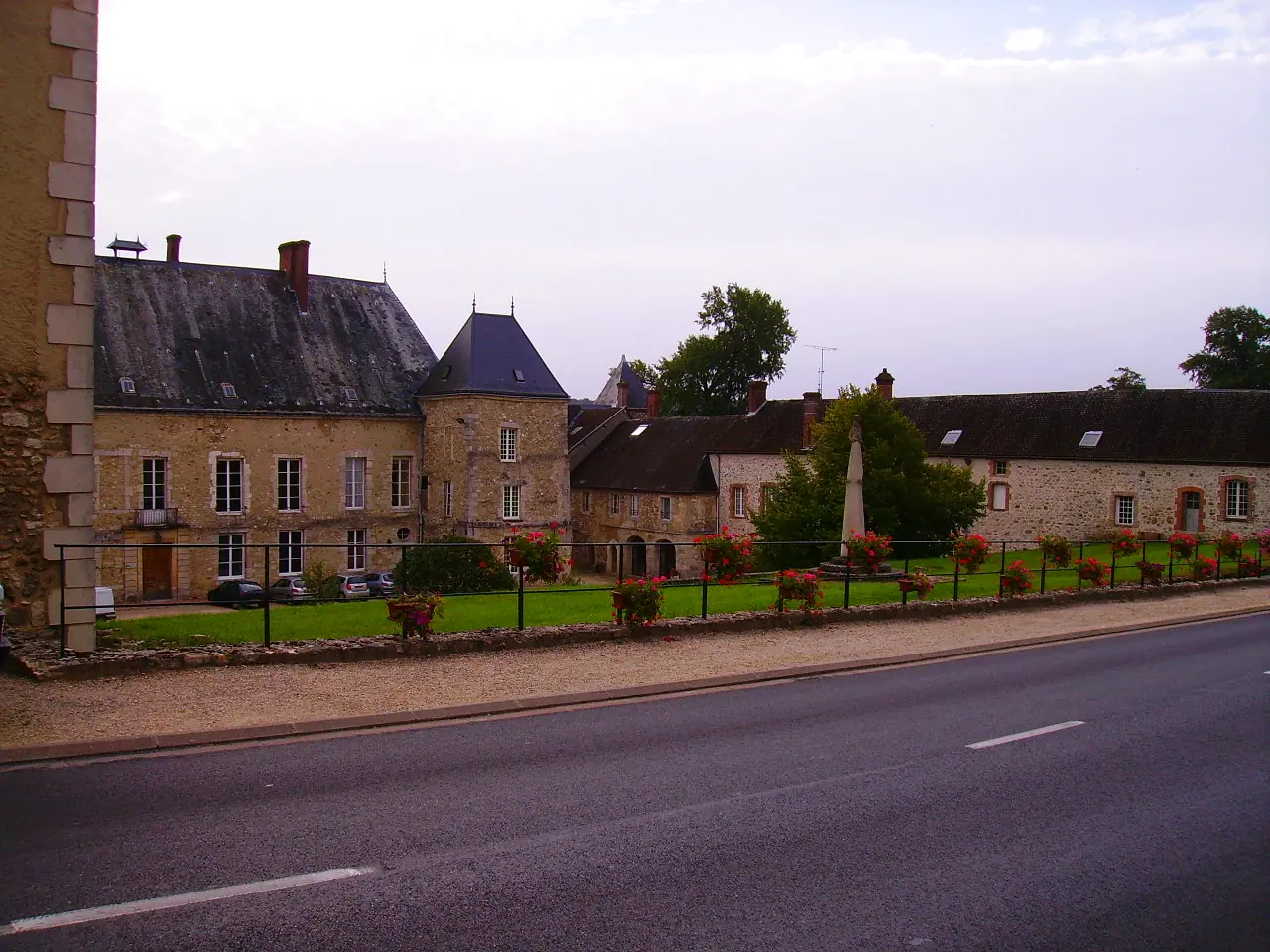
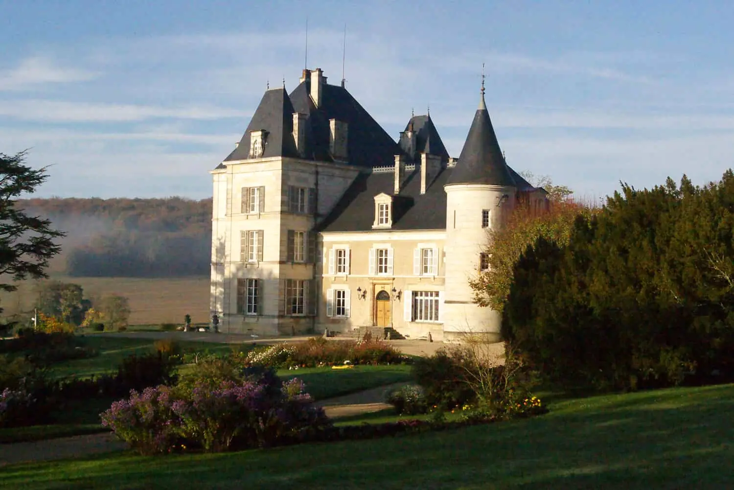
- The Château de Congy, built in 1825
The village name is recorded as Congei as early as 1131. Getting around is simple: the departmental road D933 between Montmirail and Châlons-en-Champagne passes to the north, while the D243 and D343 lead into the village. That makes Congy a quiet stopover away from the better-known champagne villages.
Pictures


 0 %