
- Département
- Marne (Grand Est region)
- Site
- Northern edge of the Montagne de Reims, about 12 km south-west of Reims
- Inhabitants
- 237 (2023)
- Vineyard area
- 41 hectares in the Champagne appellation
- Gemeindefläche
- 287 hectares
- Source
- Wikipedia, eigene Zusammenfassung
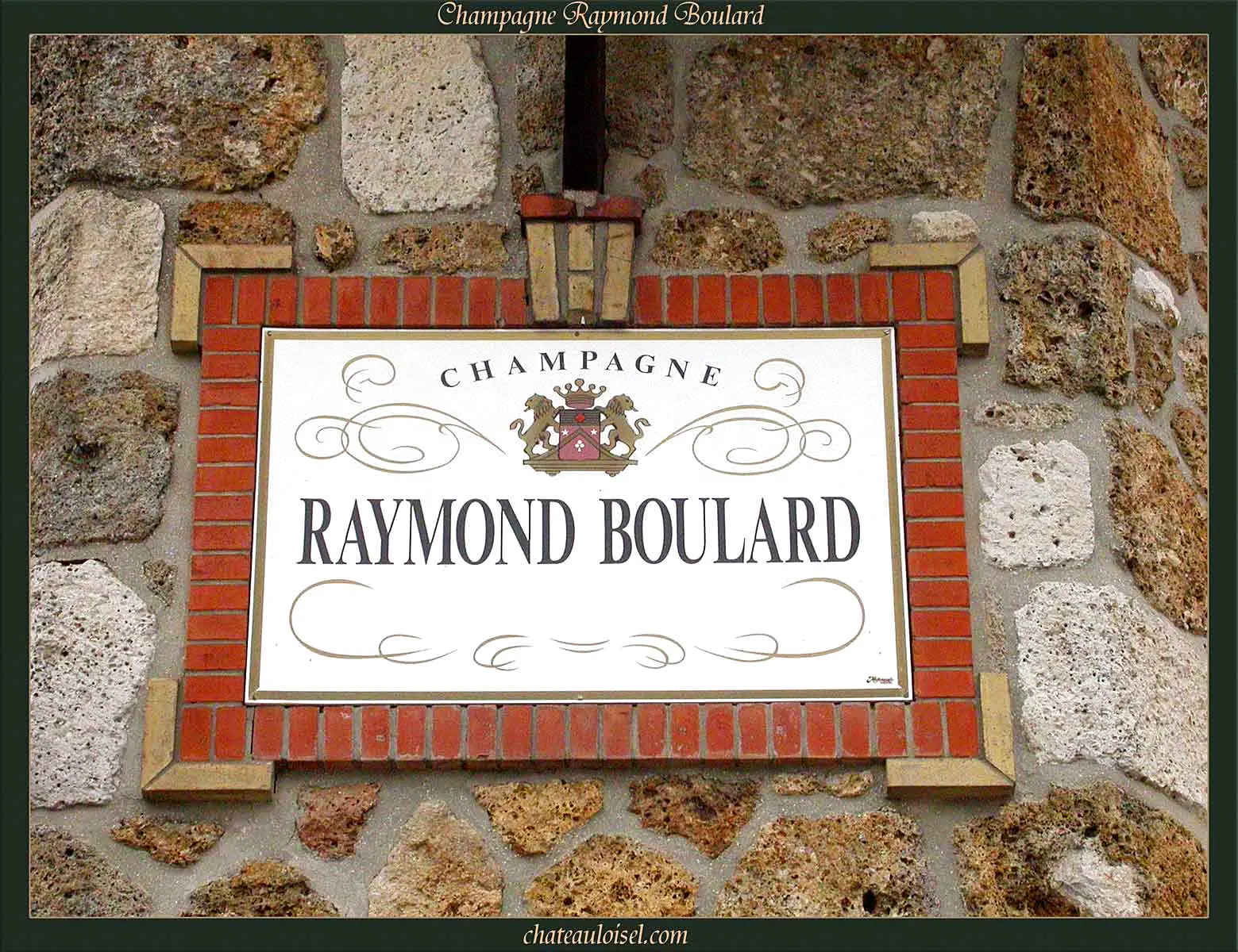
A small commune in the Marne département on the northern edge of the Montagne de Reims, about twelve kilometres from Reims. Courmas has 41 hectares of vineyard in the Champagne appellation.
Location
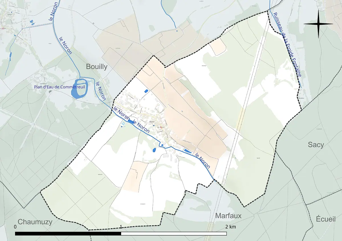
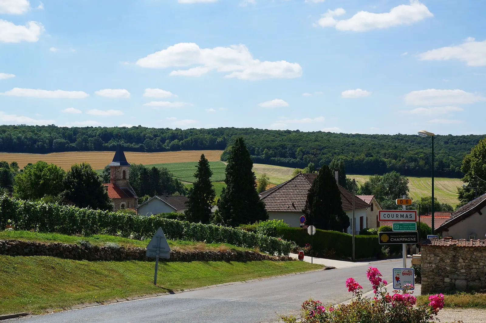
Courmas lies in the north-west of the Marne département in the Grand Est region, about twelve kilometres south-west of Reims. The commune belongs to the farming landscape of the Tardenois and covers 287 hectares on the northern edge of the Montagne de Reims and its regional nature park. The village sits in a small valley shaped by the Noron stream, which flows north-west towards Bouilly. Elevations range from 158 to 253 metres, and hills rising above 200 metres flank both sides of the valley.
Neighbouring communes include Bouilly, Ville-Dommange, Sacy, Marfaux and Méry-Prémecy. With 237 inhabitants (2023), Courmas is a very small place. Its residents are known as Courmassiens. Administratively, the commune belongs to the canton of Fismes-Montagne de Reims and to the catchment area of Reims.
Viticulture
Courmas has 41 hectares of vineyards in the Champagne appellation. It is not classified as Grand Cru or Premier Cru. For explorers, though, it is still of interest: it shows what Champagne looks like away from the famous names, with small growers' villages set among vines, fields and woodland.
At the nearest weather station in Chambrecy, six kilometres away, the annual mean temperature from 1991 to 2020 was 10.7 °C.
The land use figures illustrate this nicely. According to the 2018 data, woodland covers a good 43 per cent of the commune, arable land just under 26 per cent, and permanent crops, which include vines, around 16 per cent. Here, viticulture is one part of a mixed landscape rather than the only thing that defines it.
Climate
The climate is oceanic, with cool summers and cold winters. At the nearest weather station in Chambrecy, six kilometres away, the annual mean temperature from 1991 to 2020 was 10.7 °C. Rainfall averaged 734 millimetres a year. The extremes run from 40.3 °C in July 2019 to minus 22.1 °C in January 1985. Growers in France's northernmost wine region know such swings well.
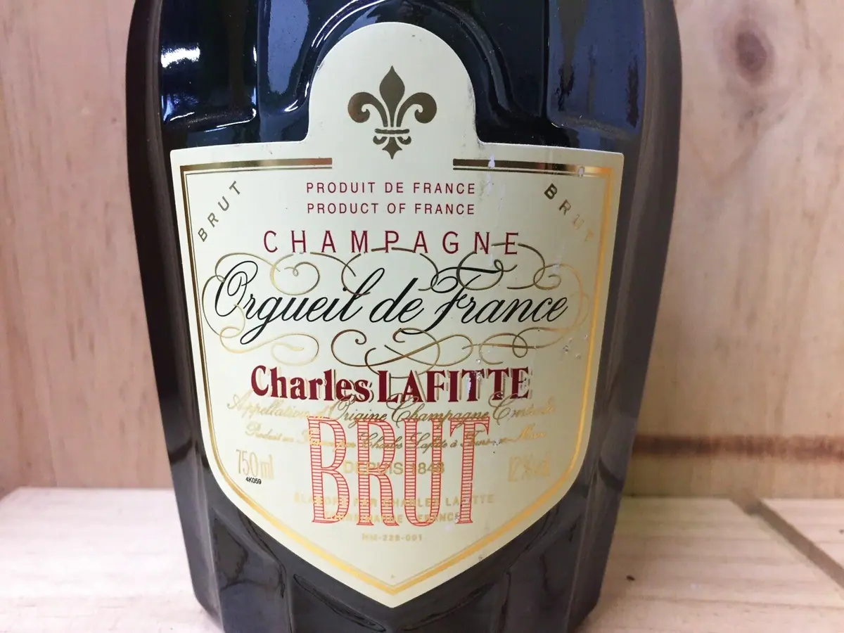 Charles Lafitte Champagner Flasche
History and sights
The First World War hit Courmas hard. The commune was awarded the Croix de guerre 1914-1918 on 30 May 1921. Traces of that period are still visible in the village:
- The church of Saint-Rémy was rebuilt in 1924. The earlier building, dating from the 16th century, had been largely destroyed in the war.
- The British military cemetery of the Commonwealth War Graves Commission commemorates the fallen soldiers.
If you are visiting the area, the best way to take in Courmas is on a drive along the northern side of the Montagne de Reims. Reims is 13 kilometres away by road.
Pictures


 0 %