
- Département
- Marne (Grand Est region)
- Site
- Montagne de Reims, west of Épernay
- Inhabitants
- 523 (2023)
- Source
- Wikipedia, eigene Zusammenfassung
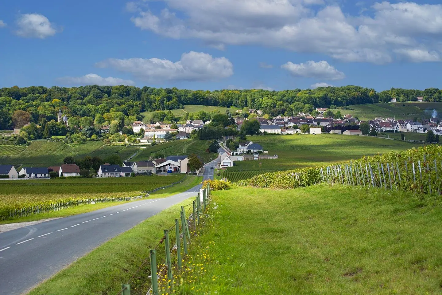
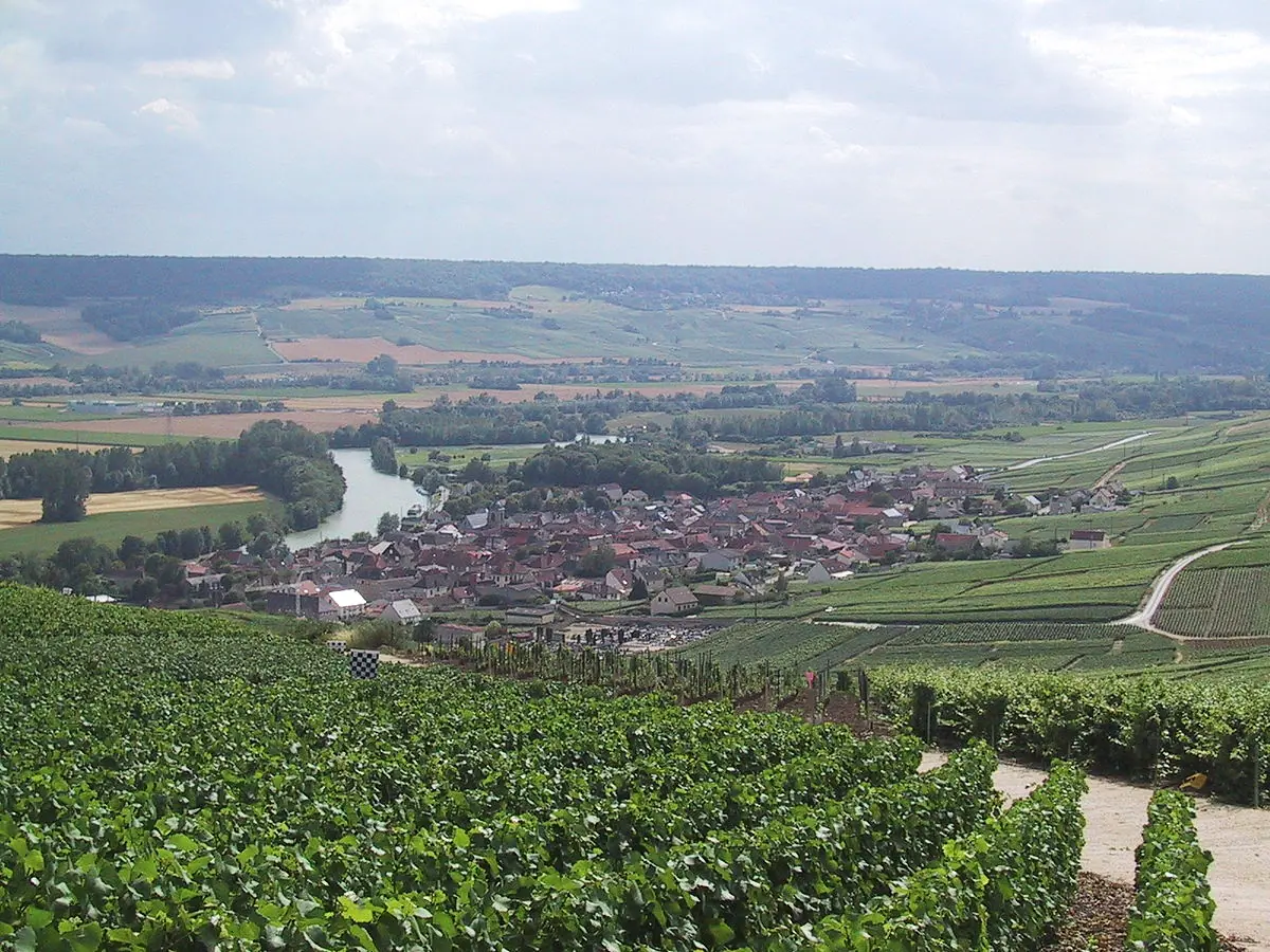
Fleury-la-Rivière is a winegrowing village in the Montagne de Reims regional park, close to Épernay. Its hillside vineyards lie within the Champagne appellation, and the village is also home to a site of fossilised giant shells.
Location
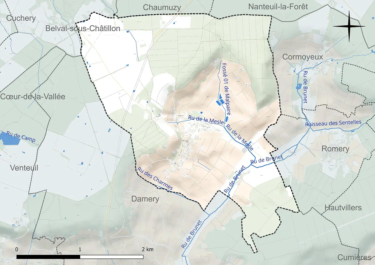
Fleury-la-Rivière lies in the west of the Marne département, about 11 kilometres from Épernay and roughly 16 kilometres south-south-west of Reims. The commune belongs to the arrondissement of Épernay and the canton of Dormans-Paysages de Champagne. It covers 798 hectares in the Montagne de Reims Regional Nature Park. Its neighbours are Chaumuzy, Nanteuil-la-Forêt, Cormoyeux, Romery, Damery and Belval-sous-Châtillon.
The village stretches along a slope beside the D22 departmental road. To the north lies the hamlet of Bourg de Vesle. In the old village centre, single-storey houses stand close together along narrow lanes. Two isolated farms also belong to the commune: Raday in the Brunet valley and Montorgueil, above the village at the edge of the plateau.
Viticulture and landscape
The vineyards lie on the slopes between the Montagne de Reims massif, which towers over the north and west of the village at more than 250 metres, and the Brunet valley to the east. Across the commune, altitude ranges from 103 to 264 metres. According to the source, the local economy is strongly geared towards wine growing. Fleury-la-Rivière is not a Grand Cru or Premier Cru village, but it is a typical winegrowing community with 523 inhabitants (2023).
Halfway up the slope there are fossil deposits from the Lutetian, the period around 45 million years ago.
The land use shows how closely vines and forest sit together here:
- Forest: 36.7 per cent
- Permanent crops, mainly vines: 29.3 per cent
- Arable land: 17.8 per cent
- Meadows: 11.2 per cent
- Built-up area: 4.9 per cent
(Figures from 2018.) Two nature conservation zones of the ZNIEFF type lie partly within the commune, including the Bois de Raday. A pré-bois grows there, a wooded pasture under pressure from the encroaching vineyard. The yellow-bellied toad lives in the damper areas.
Fossils from the Lutetian
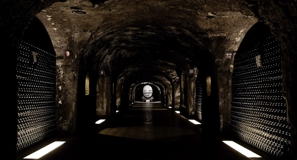
One special feature is the ground beneath your feet. Halfway up the slope there are fossil deposits from the Lutetian, the period around 45 million years ago. Finds include large cone-shaped snails, the campaniles, which grow to 40 to 60 centimetres in length. You can see such fossils in the "Cave aux Coquillages". The guided tour lasts an hour and a half at a constant 12 degrees, so warm clothing is a good idea. You will see both untouched spots, where the shells sit embedded in the calcareous sand, and cleaned areas such as a former beach strewn with giant snails.
What to see and visiting
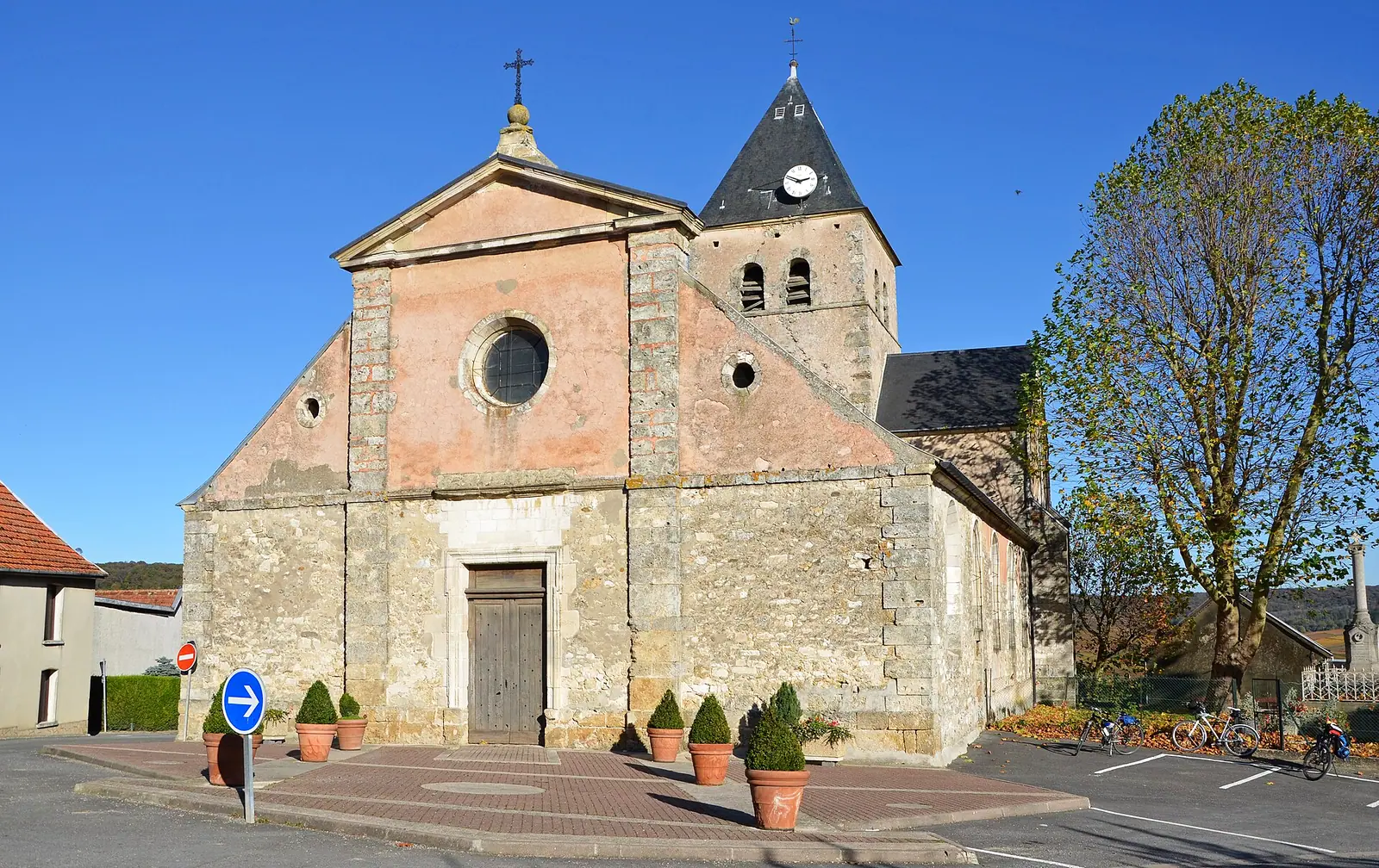
The most important historic building is the church of Saint-Maur. A walk through the lanes and up to the edge of the forest brings together the village itself and the vineyard landscape. The climate is temperate with fresh summers. According to the weather station at nearby Chambrecy, the average annual temperature is 10.7 degrees and rainfall is around 734 millimetres a year.
If you are exploring the area around Épernay, Fleury-la-Rivière makes a quiet stop away from the big names. The source does not name any growers here, so it is best to ask local producers in the region about tasting appointments before you go.
Pictures



 0 %